Summit elevation: 15,696 feet / 4,784 meters
6 miles with 2,600 feet of climbing
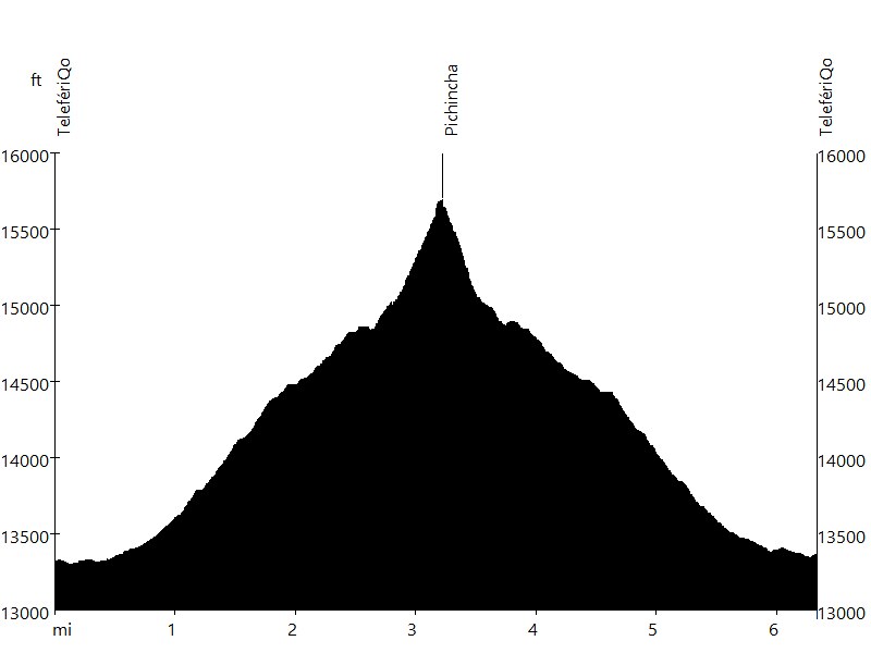
Route Profile
Pichincha • Description
The 15,696-foot active Pichincha volcano rises above Quito and can be accessed via Teleférico Quito. The two highest peaks of the mountain are Wawa Pichincha and Ruku Pichincha. The active caldera is in Wawa Pichincha on the western side of the mountain.
This hike starts at the mountain station of TelefériQo and leads on a trail to the summit of Ruku Pichincha. The last section is rocky/sandy with some scrambling. Ruku Pichincha offers one of the best views of Quito.
Pichincha • Interactive Map
Pichincha • Pictures
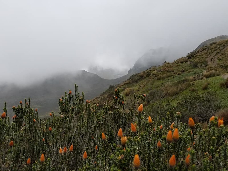
Chuquiragua, Flower of the Andes
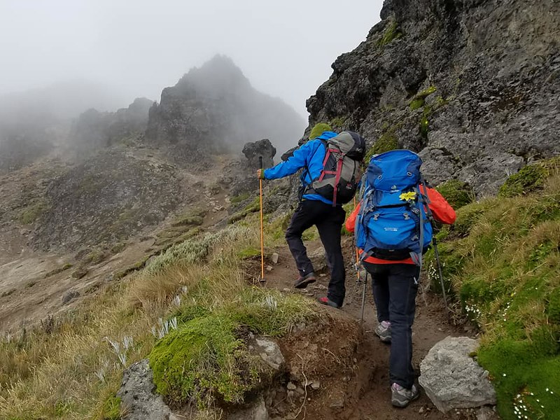
Pichincha
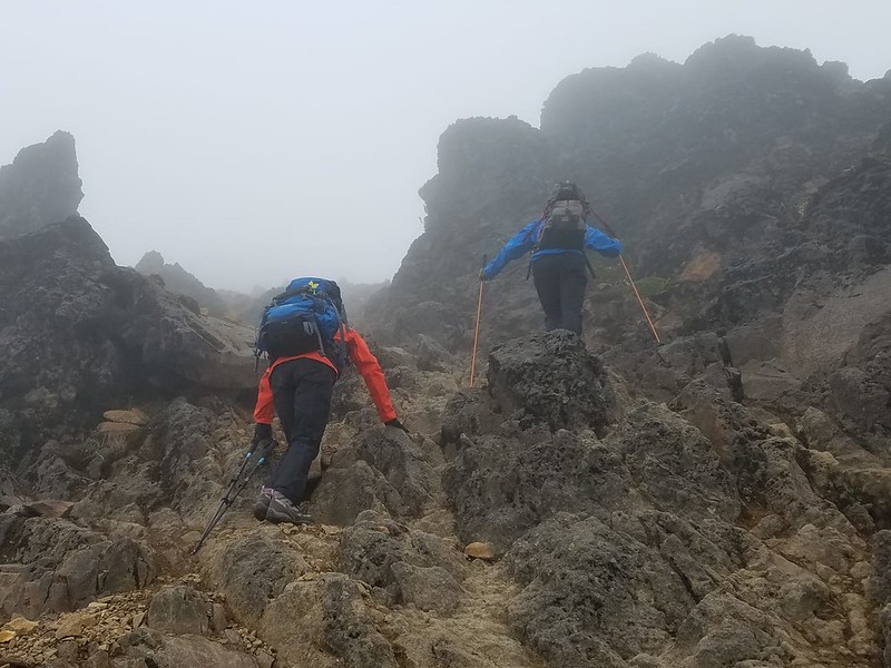
Pichincha
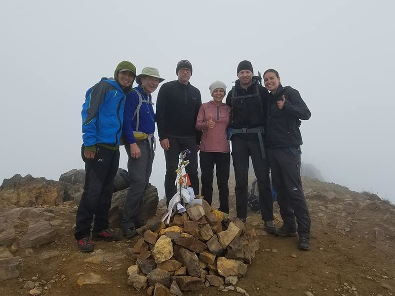
Summit
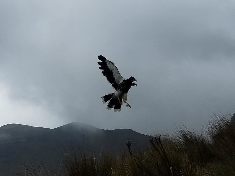
Curiquingue, Sacred Bird of the Incas
By: B. Straehle
See Also: Hiking & Backpacking